

Himachal Pradesh braces for more rain, snowfall as IMD issues orange alert
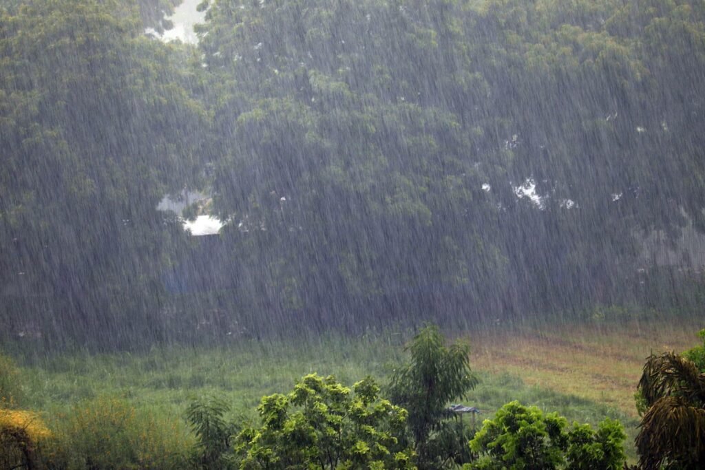
Himachal Pradesh continues to reel under widespread rain and snowfall triggered by an active western disturbance, with the India Meteorological Department (IMD) warning of more turbulent weather over the next 48 hours.
Several parts of the hill state have recorded significant precipitation in recent days, accompanied by a sharp drop in temperatures. According to IMD data, maximum temperatures have fallen by 2 to 5 degrees Celsius across many regions and are currently below normal levels.

IMD Himachal Pradesh head Shobhit Katiyar said Manali recorded around 53 mm of rainfall, while nearby areas received up to 20 mm. Higher reaches have also witnessed fresh snowfall, with notable accumulation reported in multiple locations.
Data from the Meteorological Centre in Shimla shows that Manali recorded the highest rainfall at 53 mm, followed by Sarahan at 32.5 mm and Seobagh at 32.4 mm. In high-altitude areas, Gondhla received 13 cm of snowfall, Keylong recorded 12 cm, and Kukumseri saw 11.4 cm.

The weather department has issued an orange alert for heavy rainfall in Chamba, Kangra, Kullu, and Mandi districts on March 19. Heavy snowfall is also expected in Lahaul and Spiti.
Katiyar noted that temperatures across the state are currently 6 to 7 degrees Celsius below normal, while minimum temperatures are lower by 2 to 3 degrees. He added that these conditions are likely to persist for the next two days.

The IMD also reported sharp temperature contrasts across the state. Kukumseri recorded the lowest minimum temperature at minus 0.6 degrees Celsius, while Paonta Sahib remained the warmest at 27 degrees Celsius. Shimla experienced thunderstorms and lightning, while Mandi reported shallow fog, reducing visibility to around 800 metres.
According to the IMD, the ongoing weather activity is due to an upper air cyclonic circulation over West Rajasthan along with an active western disturbance over North Pakistan. Widespread rain and snowfall are expected to continue till March 20.
The intensity of the weather system is likely to reduce to scattered activity on March 21 and 22, with another spell of precipitation expected around March 23.
Authorities have warned of thunderstorms with lightning and gusty winds reaching speeds of 40 to 50 kmph, gusting up to 60 kmph. A hailstorm alert has also been issued for isolated areas on March 19.
Residents and tourists have been advised to avoid unnecessary travel, especially in high-altitude and vulnerable areas, and to follow official weather advisories.
 ----------------------------------------------------------------------------------------------